The Ocelli Project
The Next Generation of Humanitarian Crisis Monitoring #
The Ocelli Project is a collective of researchers dedicated to building the next generation of humanitarian crisis monitoring. The term Ocelli is inspired by the simple “ocelli” eye of insects such as dragonflies and bees that allow them to detect changes in their environment.
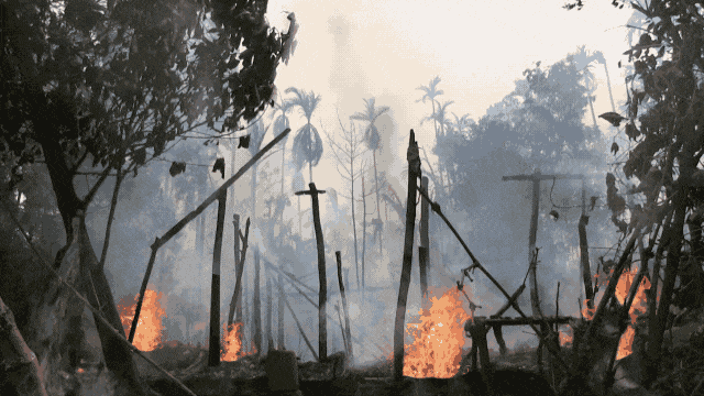
The same function is at the core of the Ocelli Project: We use advanced remote observation analysis to detect and document ground-level changes that threaten the peace and security of our global communities, from large-scale destruction, to civilian casualties, to displacement caused by conflicts, repression, or disasters. Our methodology can be applied to any situation and environment, to independently and remotely document what happens in the world.
The Ocelli Project’s Mission #
Our mission is to increase access to geospatial data and empower communities through research, accountability, and advocacy. That’s why our methodology is built to be shared. Rooted in publicly available satellite imagery, our databases are freely available for anyone in the world to use.
Through the power of public collaboration and remote sensing technology, the Ocelli Project can provide unprecedented access to evidence of human rights abuses, information on the scale of disasters, conflict and repression, and valuable data for researchers, advocacy organizations, and legal practitioners.
Interactive Geospatial Dataset #
Ocelli Project: Rakhine is an interactive geospatial dataset dedicated to telling the story of what happened in Rakhine state through open source information. It enables researchers to access insights into the genocide from afar and provides reference and verification for other open source data.