US Sanctions in Venezuela: Using AIS and Network Analysis to Visualize Impact
The Bottom Line Up Front
Join Project Geospatial on May 28, 2020 for a webinar on identifying and analyzing ships’ behavior in and near the Venezuelan Exclusive Economic Zone following U.S. sanctions on the Venezuelan oil sector.
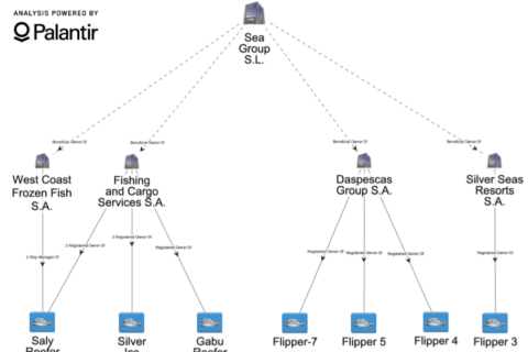
C4ADS analyst Sofia Vargas is mapping out and analyzing ships’ behavior in and near the Venezuelan Exclusive Economic Zone following U.S. sanctions on the Venezuelan oil sector. By fusing AIS data, vessel identifier data, and corporate ownership information, C4ADS is harnessing publicly available information to monitor risks posed by sanctions in the maritime domain. To see some of C4ADS cited work, check out the following article by Armando.info.
Access the story mentioned in the webinar here.


